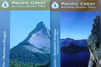
The movie “Wild” tells the true story of one woman’s solo hike along 1,100 miles (1,770 km) of the Pacific Crest National Scenic Trail. Known as the PCT, the 2,650 mile (4,265 km) wildland route connects Mexico and Canada, with 457 (735 km) of those miles in Oregon. Eugene residents Julia Frantz and Philip Pfanner spent five months hiking the entire PCT. Julia shares her trek along the Lane County portion, which journeys by Diamond Peak and through the Three Sisters Wilderness, in this guest blog post.
 I awoke early to the lapping water of Crescent Lake, the sun shining through the fabric of our tent, and the cold, fresh air. We were at mile 1,893 of the Pacific Crest Trail, and had been hiking from the Mexican border for just under four months. At this point in our hike, living in the wilderness and sleeping on the ground felt normal. We’d fallen into a routine of waking with the sun, lounging in bed for awhile (Phil read, I slept), making coffee, eating our beloved daily Pop-Tart, and then starting our day of hiking. Each day had a purpose: to walk until dark (usually 20-25 miles), each step getting us closer to our final destination of Canada.
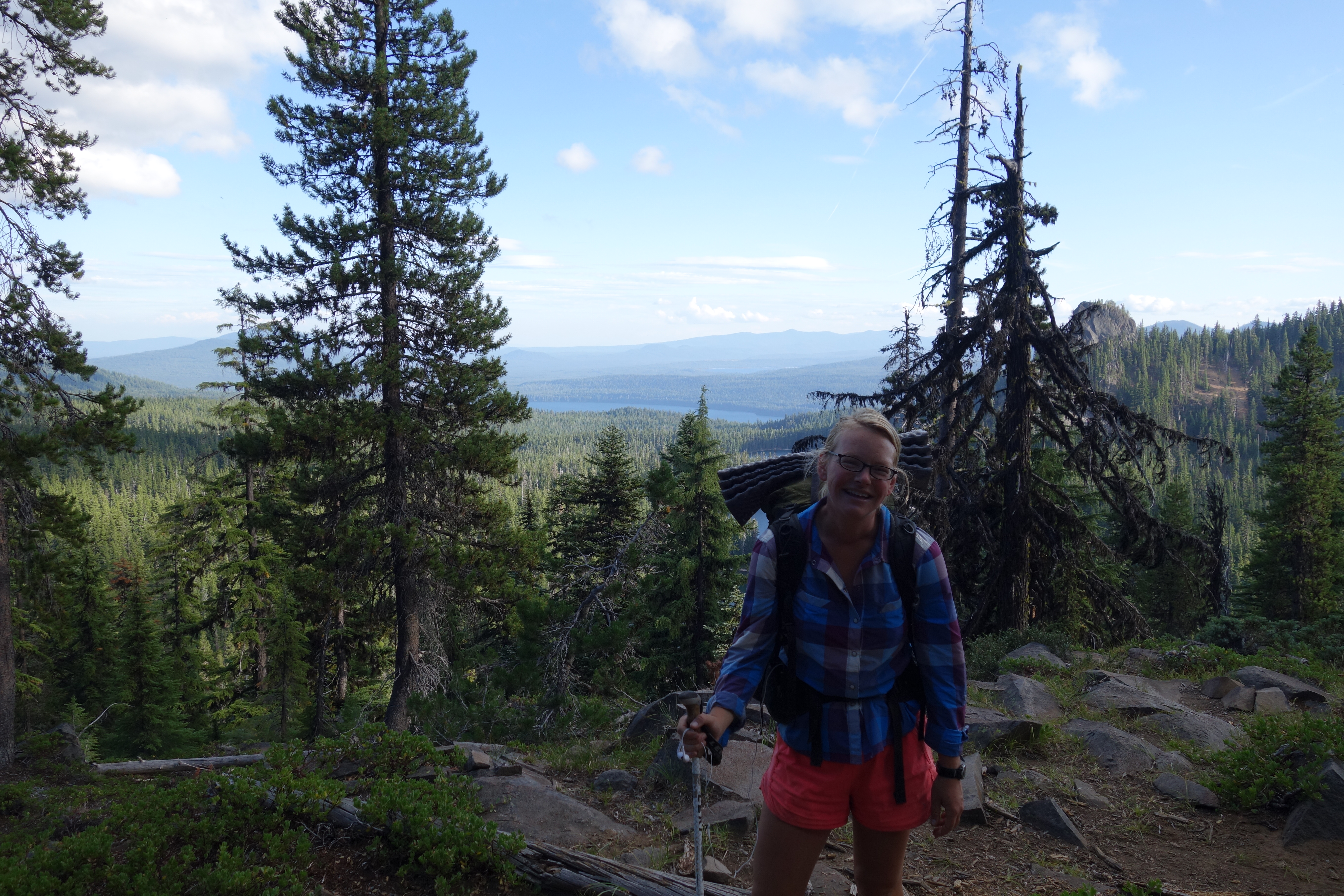
This particular day, though, we were only hiking the 12 miles from Crescent Lake to Odell Lake. Phil’s mom had been hiking with us since Crater Lake and was getting off the trail that day, and Phil’s dad was meeting us at Odell Lake. We were behind schedule, so Phil stayed back with his mom while I practically ran the 12 miles to Odell Lake in time to catch Phil’s dad. The trail meandered through sparse forest, passing by beautiful, clear lakes with Diamond Peak ever present to my left. After awhile, we got into the deep, lush forest that really felt like Oregon to me. The trail followed a babbling creek and wound downhill for miles until it finally came out into a clearing with railroad tracks and a parking lot in the distance. Odell Lake! Shelter Cove! I’d been dreaming about this moment for the past week. The promises of soda, chips, our resupply box, and familiar faces started to fill my mind, and I sprinted to find Phil’s dad.
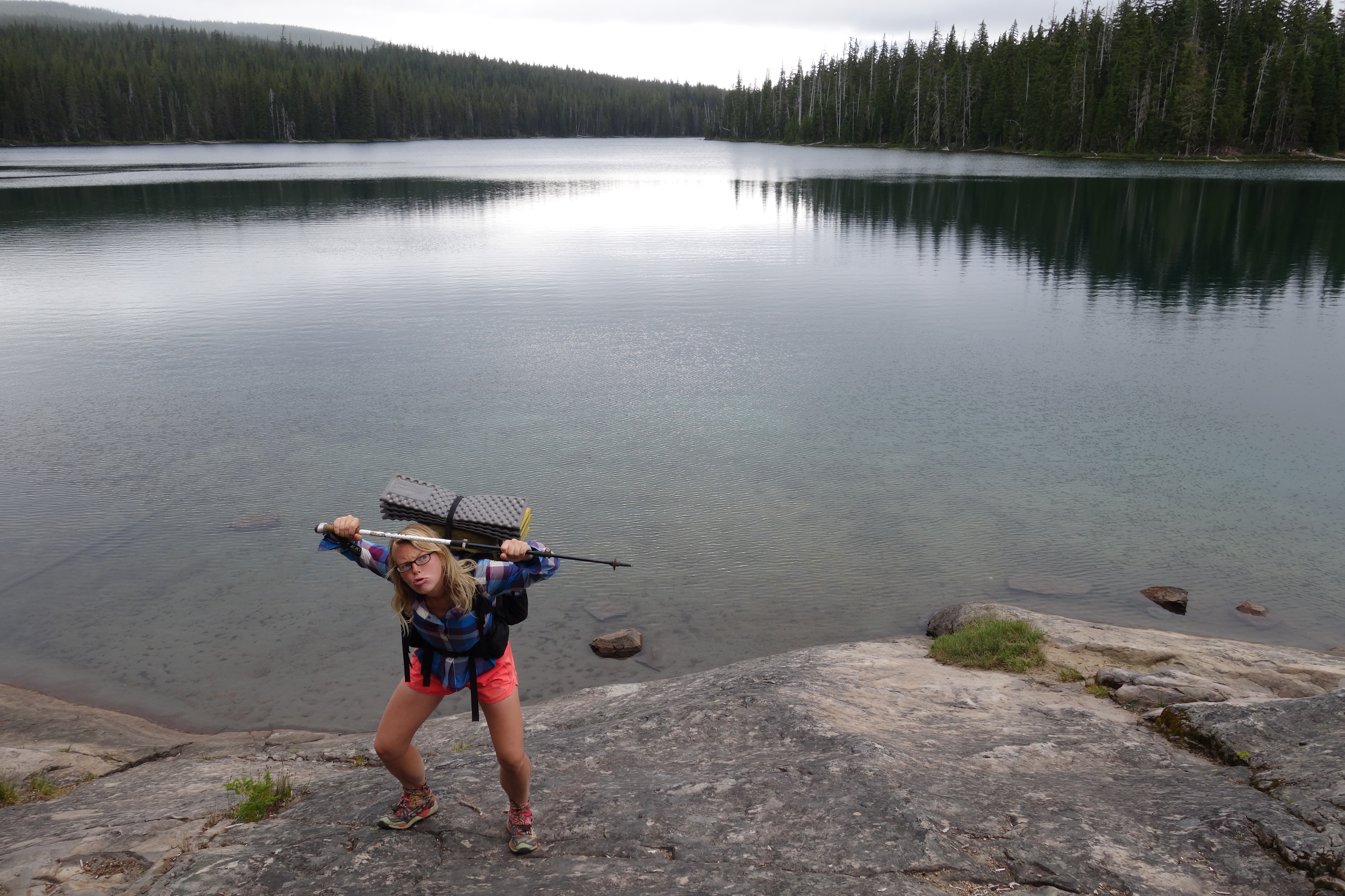
We spent the rest of the day at Shelter Cove Resort doing the usual civilization tasks – food sorting, laundry, showers, phone calls to parents – and then continued the journey north. We had made plans to meet my parents at Highway 242 in two days, and that was still 75 miles away. It was strange to cross Highway 58 by Willamette Pass, an area so familiar to me, yet experience it in a completely different context. We hiked through the forest, past Rosary Lakes, our surroundings looking and feeling so much like Oregon. The mosquitoes got worse as the day wore on, but they weren’t nearly as bad as they’d been in parts of California. We camped at Bobby Lake, an expansive lake surrounded by forest.
It was cloudy but warm when we left our camping spot the next morning. We hiked on through the forest for a few hours, then stopped for breakfast at Charlton Lake. We had spent a weekend camping there the summer before, and it was fun to be back. We hiked through the burn section near Waldo Lake, passing the time by making up a number game with an elaborate scoring system.
“I’m gonna think of a number between 0 and 99, and you have to guess it.” “Ok, if I get within 10 numbers I get 5 points.“ “Ok, and if you get within 20, you get 10 points.”
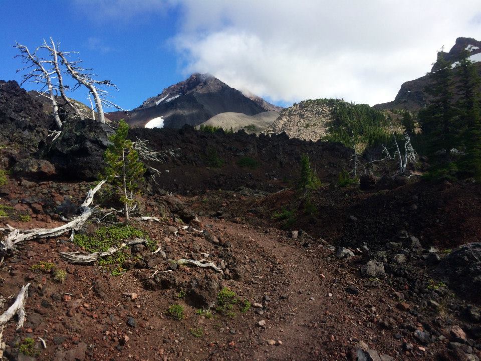
And so on. This actually entertained us for the better part of an hour. Then Phil guessed my number, and for some reason it was the most hysterical thing that had happened in days. We trekked on through a swampy section of the forest and passed hundreds of tiny lakes. The mosquitoes were awful, and we couldn’t stop without getting attacked. So, we just kept going. I could see the beginnings of the Three Sisters in the distance, and couldn’t believe we were so close. The afternoon turned into evening, and we ran into Happy Nomad and Butterfly, fellow hikers that we’d been close to on the trail since the Sierras in California. It was almost 8 p.m. and we still had 10 miles to go to complete our day. We both started listening to our iPods – I was listening to every song in alphabetical order and I think I was around “S.” At 9 p.m. we stopped for a five-minute candy bar break. We continued on into nothingness through the black forest, the darkness swallowing everything except the tunnel of space illuminated by our headlamps directly in front of us. I couldn’t see or hear anything around me, so for those hours I existed in a strange, dark iPod world. We reached Island Meadow at 11 p.m., after 34 miles, and decided to camp. We had 31 miles to do by 5 p.m. the next day.
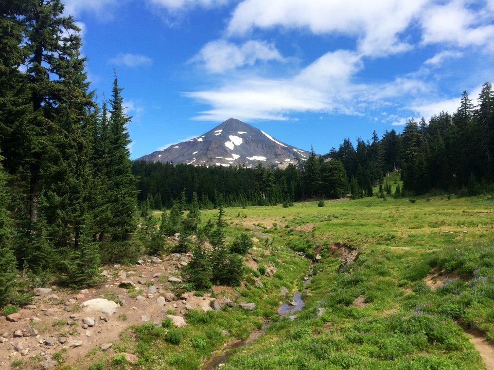
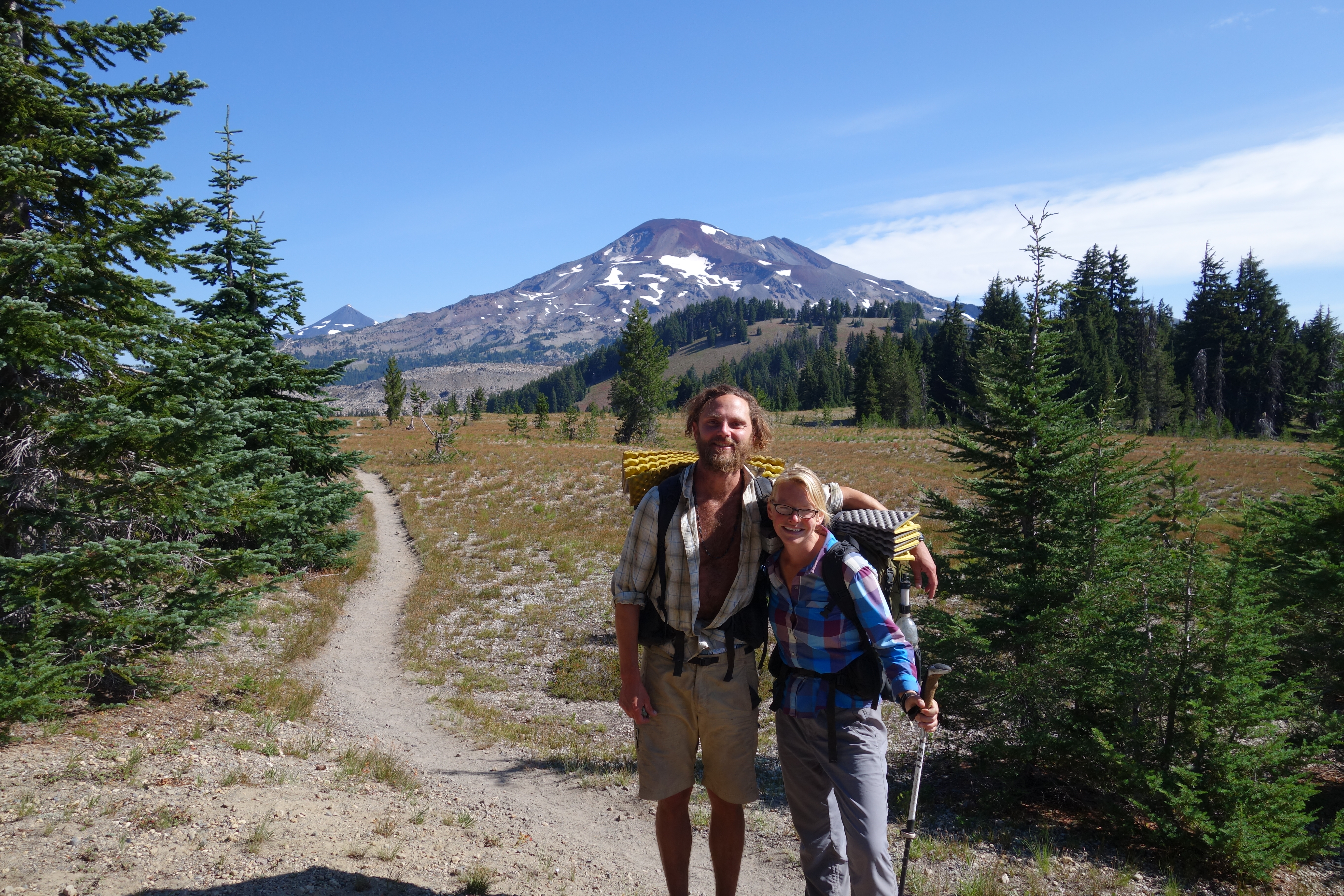
We awoke at 6 a.m., packed up our belongings in a matter of minutes, and carried on. It was so cold (probably 35 degrees) and the meadow was covered in a layer of frost. The sun was starting to come up as we passed the turnoff for Elk Lake, and we got our first real view of the Three Sisters. It was so breathtaking. We stopped for breakfast near Koosah Mountain, perched on a rock with a clear view of the mountains and valley below us. Our friend Slo Mo walked by and stopped to join us for awhile. Slo Mo was a 65-year-old man from Corvallis who had just retired and was hiking the PCT because he “needed to do something different.” We said goodbye to Slo Mo and hiked on, as the trail finally opened into an sprawling meadow with South Sister directly in front of us. We passed four thru-hiker boys doing the “Oregon Challenge,” in which you complete all of Oregon in two weeks averaging 33 miles a day.
“That sounds awful,” I said. “Maybe next year,” said Phil.
Our surroundings became incredibly beautiful. South Sister was to our right, and every mile of trail brought a different perfect, pristine meadow, often with an idyllic creek running through it. As the trail steadily climbed, we could see more and more mountains below us and in the distance. We passed through the Obsidian Flow, past Obsidian Falls and Glacier Creek. It was a perfect, sunny August day in the Oregon Cascades, and there were hundreds of day hikers on the trail. We must have looked different, or just been really smelly, because almost everyone I passed stopped me and said something like, “you look like you’ve been out here awhile.”
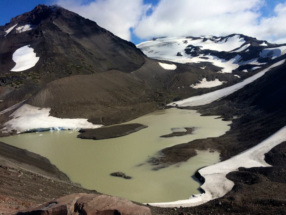
We hiked into the lava section, one of my favorite parts of the trail, and climbed up Opie Dilldock Pass by Collier Cone. Two summers ago, before we’d started dating, Phil and I had hiked the Obsidian Trail and had climbed to the top of Collier Cone. I was a few miles ahead at this point, so I wrote his name in the dirt of the scree slope, hoping to remind him of that day. It was around 4 p.m. and so goregous out. The red of the lava stood in stark contrast to the azure sky and the purple-blue rows of mountains below us. I started running near the turnoff for Matthieu Lakes with five miles to go. I shuffled down the hills and switchbacks, thinking only about the dinner my parents were bringing us and how excited I was to see them.
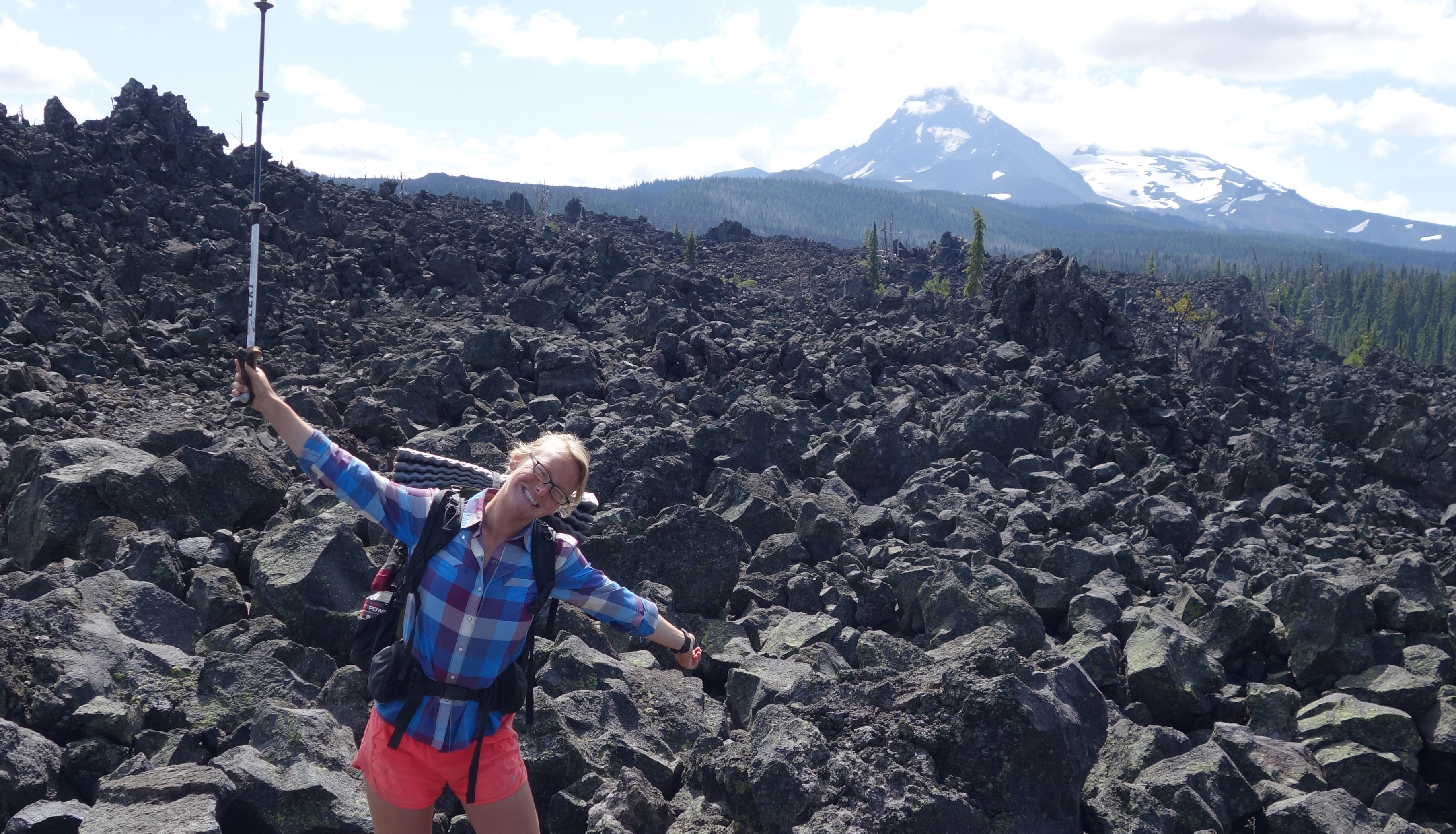
Finally, the trail flattened out, and I was at the bottom of the mountain. I saw a wooden sign up ahead – I’d been waiting for miles to see the sign for Lava Camp Lake, because I knew at that point we only had a mile to go. I tried not to get my hopes up. I got closer where I could make out the letters spelling “Lava,” and a wave of ecstatic relief and disbelief washed over me. I don’t think I’ve ever been so excited to see a sign in the woods. I hiked the last mile through the lava as fast as I could, and finally, I came around a bend and saw my parents’ black car. They’d been waiting for over two hours. We hugged, and they started pulling food from the trunk, my eyes growing larger with each delicacy they presented. Chips, root beer, turkey sandwiches, cake! At that point it didn’t matter that we had 20 miles to do the next day, or 680 miles and the whole state of Washington until we got to Canada. I was ridiculously happy and content right where I was, sitting in the middle of Highway 242, the summer wind blowing around me and the lava rock rising up on either side. I was happy to be surrounded by loving family and delicious food, happy to be hiking the Pacific Crest Trail, and happy to be in Oregon.
Pacific Crest Trail maps are available at the Eugene, Cascades & Coast Adventure Center.
About the author: Julia Frantz and Philip Pfanner are native Oregonians and longtime lovers of the outdoors. When they started dating in fall 2012, they discovered a shared lifelong dream: to hike the Pacific Crest Trail in its entirety. This year, they decided to take the plunge and make that dream a reality. From April 24 - September 26, 2014 they embarked on a 5-month, 2-day, 2,668-mile thru-hike of the Pacific Crest Trail from Mexico to Canada. In their non thru-hiking lives, Julia is the Donor Relations Manager at the Eugene Symphony and Philip is an Emergency Room RN at PeaceHealth. You can learn more about their hike by reading Julia's blog (she is still finishing it) at www.thepjadventure.com.
