Maps & Parking
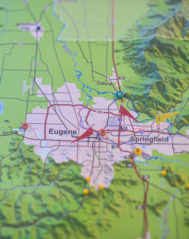
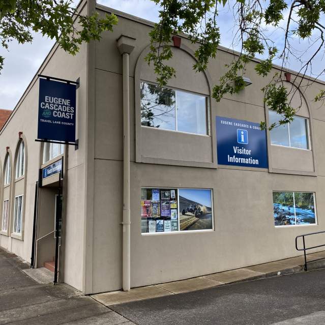
Request a free Eugene, Cascades & Coast Official Visitor Guide which includes a detailed, pull-out map of Eugene-Springfield and the Eugene, Cascades & Coast region. Order online or stop by the Eugene, Cascades & Coast Visitor Center to pick up complimentary guides, maps and brochures. Additional maps and materials available for purchase at the visitor center.
Maps & Guides to Eugene, Cascades & Coast
- Eugene-Springfield (PDF) area map
- University of Oregon interactive online campus map
- TrackTown USA Runners Map of Eugene, OR (PDF)
- Eugene Bike Map (PDF)
- Springfield Bike Map (PDF)
- Eugene - Springfield EmX bus route map (PDF)
- Eugene, Cascades & Coast Adventure Guide (PDF)
- Eugene, Cascades & Coast - Lane County (PDF) map
- Oregon State Map (PDF) with distances between cities
SaveSave
Eugene, Cascades & Coast Visitor Center
Visit the Eugene, Cascades & Coast Visitor Center in downtown Eugene. Find information on things to do and see…
Parking
Summer weekends and holidays bring some congestion to popular trailheads and shopping centers, but generally, parking is easy across the region. If you do encounter a full lot, please do not park out-of-stall and along sensitive and unsafe road shoulders. Instead, choose a lesser known destination and try to come back during off-peak days or hours for more fun without the crowds. If you need ideas of where to go off the beaten path, contact our visitor center for tips.
Parks
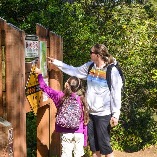
Federal and county parks and points of interest frequently require parking permits. Always plan ahead to make sure you have the proper parking permits in advance as it may not be possible to purchase permits on-site. This includes sno parks and day use fees.
Downtown Eugene Parking
In downtown Eugene, find downtown parking spaces using the Park Smarter app, which also allows you to pay the meter. Parking around the downtown core includes public parking lots and curbside metered parking. The Overpark and Parcade parking garages offer one free hour during the week and all day free parking on Saturday and Sunday unless there is a special event.
Whiteaker Neighborhood Parking
This popular fermentation district is a residential neighborhood with many craft breweries, wineries, distilleries and great restaurants. Parking is very limited in "The Whit", so be kind and do not block residents' driveways. Better yet, carpool or take public transportation, particularly if you plan to imbibe some of the neighborhood's signature craft beer, wine and spirits.
University of Oregon Parking
The University of Oregon campus requires paid parking permits for many of their parking lots and for nearby neighborhoods during special events. Parking permits and violations are consistently enforced. The City of Eugene manages the parking zones for street parking around campus.
Consult the UO campus map for more information on public transit options and bicycle parking serving the University District. During sports events, concerts or other large events, shuttles are often available from other Eugene - Springfield community parking locations.
Recreation Passes & Permits
Directory of federal, state and county passes and permits.
Car & RV Rentals
Find a car or an electric vehicle to rent or purchase while you're exploring the Eugene, Cascades & Coast region.
Driving Directions
Getting Here
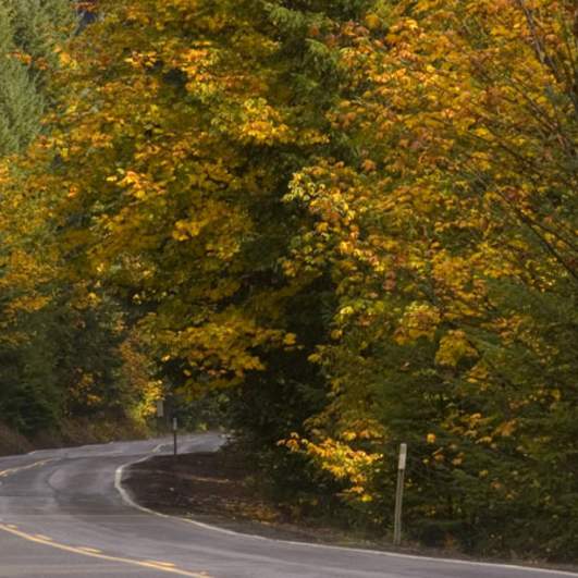
The Eugene, Cascades & Coast region is easily accessible from the interstate I-5, Oregon highways and scenic byways, making it easy to travel from one adventure to the next at your own pace.
Interstate 5 (I-5) and Highway 99 travel north south through the rich farmlands of the Willamette Valley.
Highway 101, the Pacific Coast Scenic Byway, stretches the entire length of the Oregon Coast. This popular road trip on the central Oregon Coast stretches from the rocky headlands and Heceta Head Lighthouse north of Florence to the Oregon Dunes National Recreation Area.
Highway 126 starts from Florence on the Oregon Coast, passes through Eugene and continues along the McKenzie River to the Cascade Mountains.
Highway 58 runs southeast from I-5 just south of Eugene through Oakridge over Willamette Pass and connects to Highway 97, making it a popular route to Crater Lake National Park.
- Eugene - Springfield is located on I-5, Highway 126, and Highway 99
- Cottage Grove is accessed from I-5 and Highway 99
- Creswell is accessed from I-5 and Highway 99
- Florence is on Highway 101 and Highway 126
- Veneta is located at the intersection of Highway 126 and Territorial Highway
- Junction City is on Highway 99
- Coburg is on I-5
- Pleasant Hill, Lowell, Dexter, and Oakridge - Westfir are all on Highway 58
- Leaburg, Vida, Blue River, Rainbow and McKenzie Bridge are all located on Highway 126
For current road and weather conditions visit www.tripcheck.com or call 511.
Getting to Eugene-Springfield
From the north or south
Use I-5 or Highway 99. If travelling to Eugene from Southern Oregon east of the Cascade Mountains, use Highway 97 to connect to Highway 58.
From the Coast
At Florence travel east on Highway 126.
From Central and Southeastern Oregon
Travel west on Highway 126 from Bend and Central Oregon over the McKenzie Pass. For an extra scenic route in the summer months, from Sisters take Highway 242, The Old McKenzie Highway Scenic Byway. This road is closed in winter and the route is very windy and closed to vehicles longer than 35 feet (10.7 m) in length, and trailers are not allowed. Slow down and enjoy the road trip through lava rock and green forests.
From southeastern Oregon and Highway 97 take Highway 58 over Willamette Pass through Oakridge - Westfir.
