Kentucky Falls
A venture into the Coastal Range, this challenging waterfall hike can be a gratifying experience for more experienced hikers.
Kentucky Falls Trail #1376 is located near Mapleton on Hwy 126 inland of the Oregon Coast.
- Kentucky Falls is all about adventure and accomplishment!
- The trail is 4.4 mile (7.0811 km) hike out and back, with a steep climb on the return.
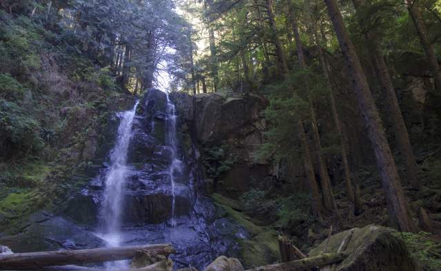
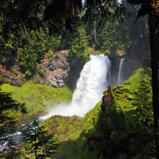
- There is an upper and a lower Kentucky Falls viewpoint. From the lower falls observation deck witness spectacular twin falls dropping 100 feet (30.480 m). The twin is called North Fork Falls.
- Expect the unexpected on this lightly traveled trail. From downed trees, mudslides and lack of consistent trail maintenance, it's a walk on the wild-side. The reward is amazing beauty and few people.
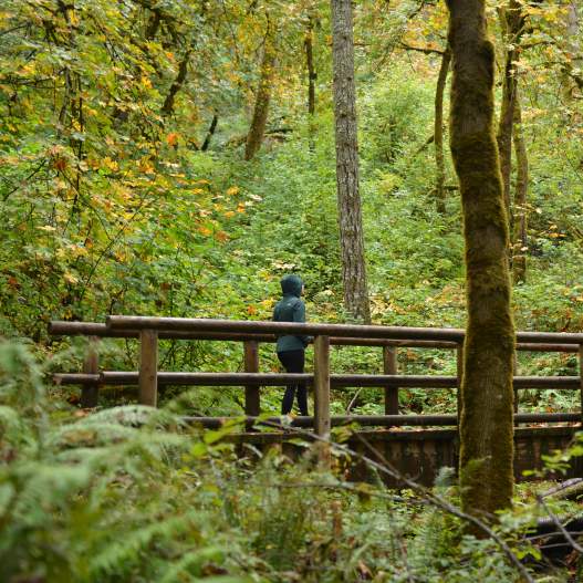
- Along the hike watch for wildflowers in spring and brilliant foliage in the fall.
Know Before You Go
- This trail is intermediate to difficult
- Siuslaw National Forest - Oregon Dunes NRA Visitor Center (Reedsport)
- No fee or permits required
- Connects to North Fork Smith Trail #1351
- Near Sweet Creek Trail #1319
- See it on Google Trekker Trail View
Directions: Confirm directions with Forest Service before departing due to possible road closures and/or detours.
Off Hwy 126, at the Whittaker Creek Recreation Area between mileposts 26 & 27 (east of Mapleton), drive south onto Siuslaw River Rd (Forest Service Road 4390).
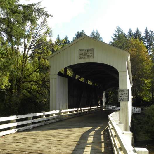
After 1.6 miles (2.57 km) turn right at the Whittaker Creek sign and cross the bridge. Follow the road for 1.5 miles (2.4 km), then turn left uphill onto Dunn Ridge Road. Continue for 7 miles (11.26 km) to a T-shaped junction at the end of the pavement.
Turn left on Knowles Creek Road and continue for 2.7 miles (4.34 km). Turn right onto Forest Service Road #23. After 1.6 miles (2.57 km), turn right onto Forest Service Road 919. After 2.8 miles (4.5 km), turn right into parking area. Follow signs to the trailhead.
Kentucky Falls Trail #1376 showcases three remote waterfalls that range from spring rages to late summer trickles. The Upper Kentucky Falls tumbles 100 ft (30,5 m) and the Lower Kentucky…
