: Turell Group
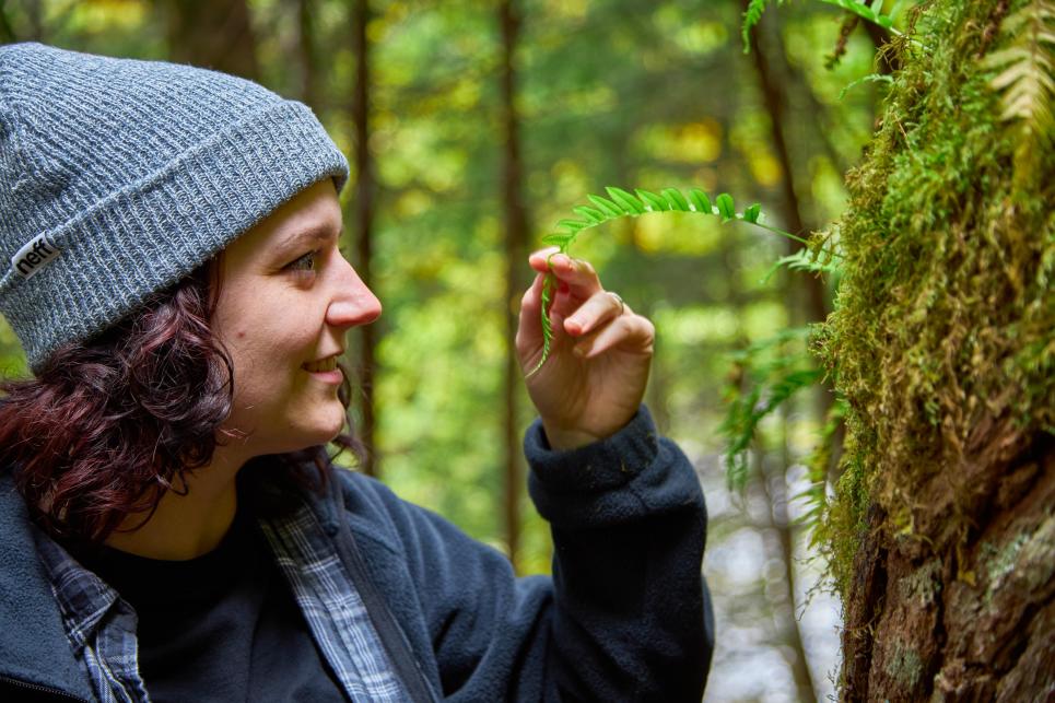
Forest hiking in the Cascades
: Jerry Gowins
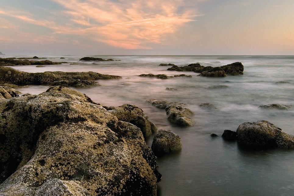
Bob Creek Wayside
: Taylor Higgins
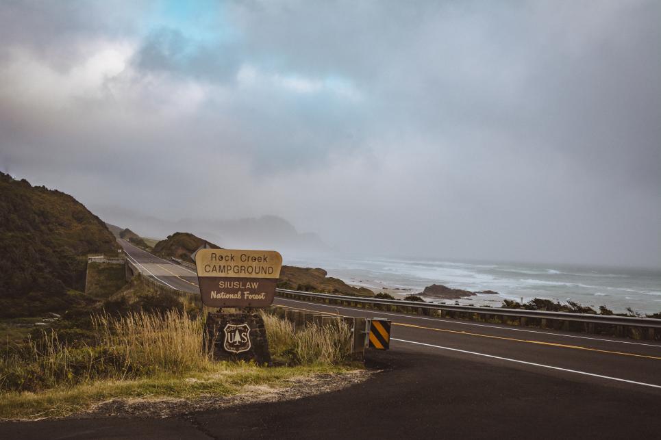
Rock Creek
: Bri Matthews
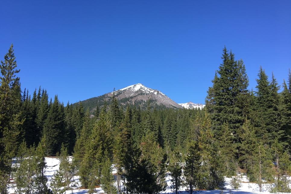
Diamond Peak Wilderness
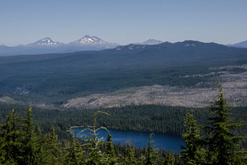
Waldo Lake Wilderness
: Melanie Griffin
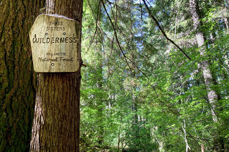
Three Sisters Wilderness
: Melanie Ryan Griffin
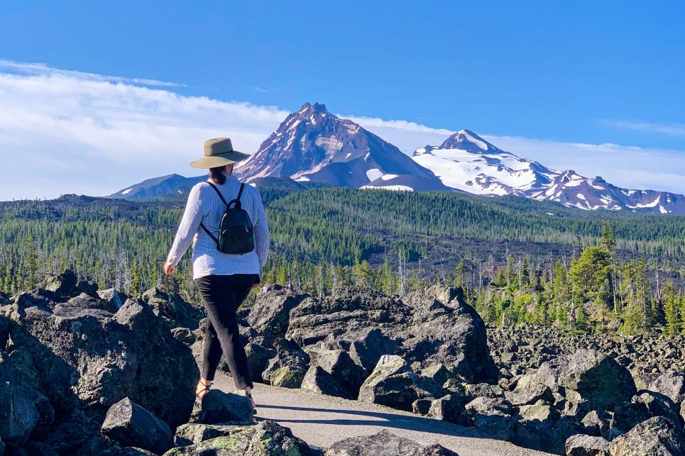
Hiking Near Dee Wright Observatory
: Dominick Barbero
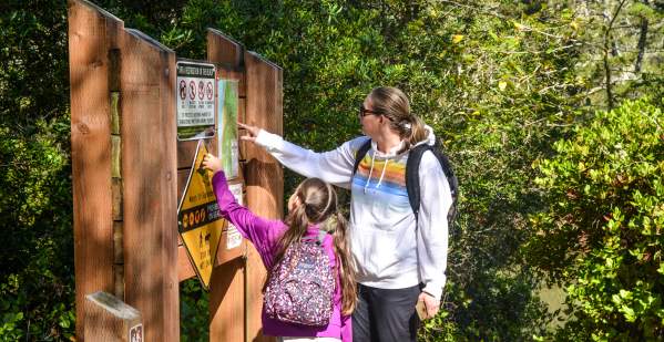
Know Before You Go
Check park and trail status, road conditions and the weather before heading out on your adventure. Find the tips…
Recreation Passes & Permits
Directory of federal, state and county passes and permits.
: Melanie Griffin
The Adventure Checklist
Here's how to explore the outdoors safely while making the most of the rich rewards that await you.