
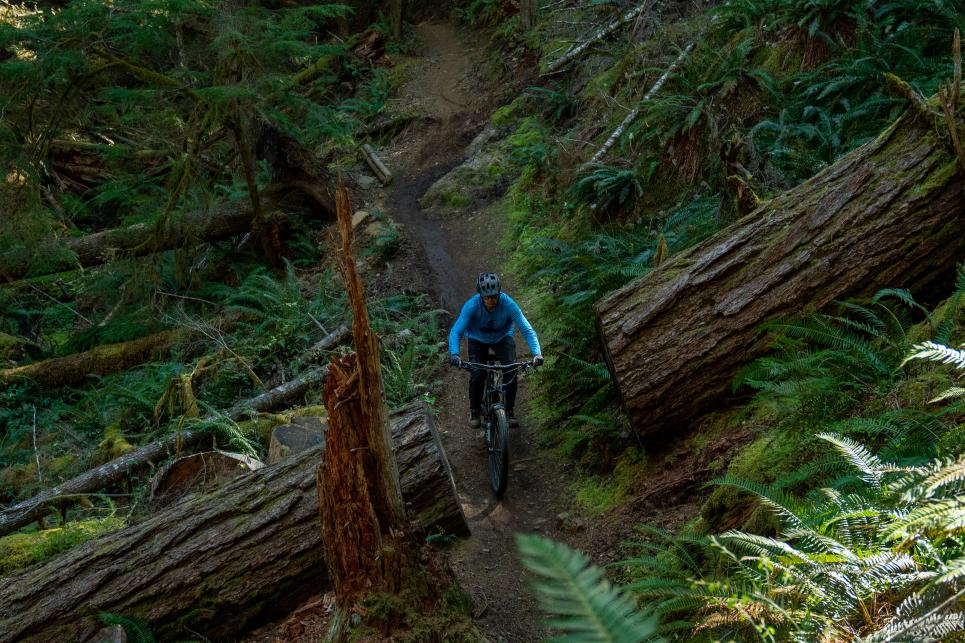
McKenzie River Trail
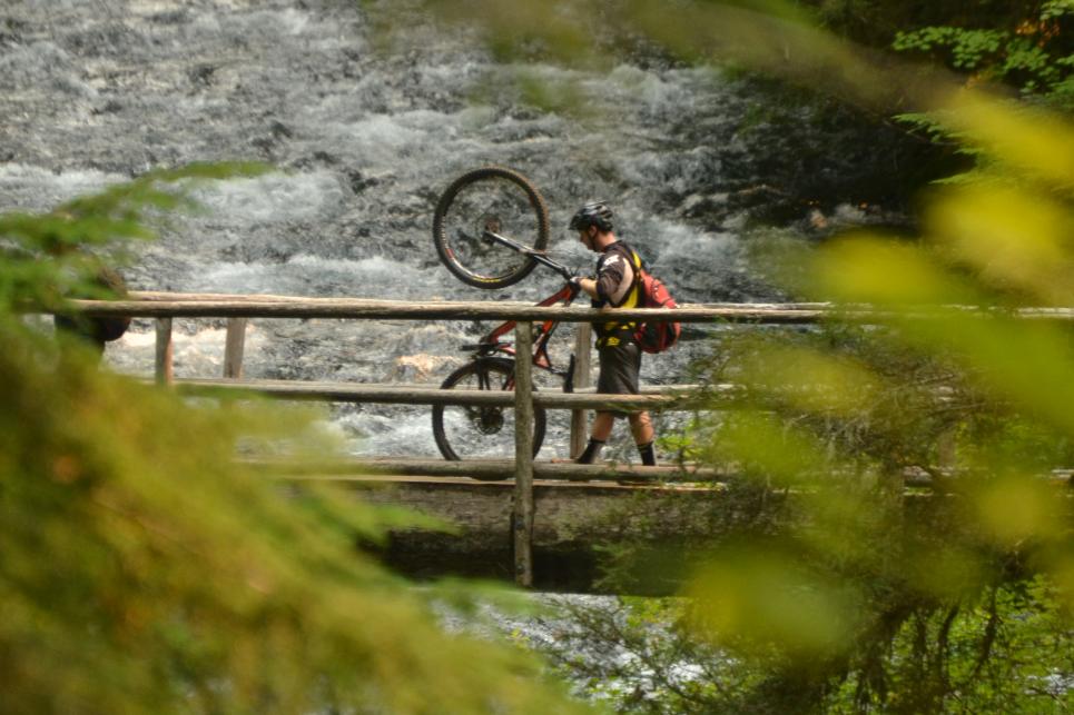
McKenzie River Trail bridges over the river
: Joey Hamilton
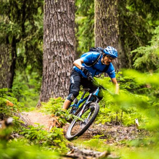
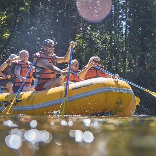
How to Road Trip to McKenzie River Without a Car
McKenzie River is the ideal destination for fishing, river rafting, hiking or sightseeing. The beautiful McKenzie River gorge has stunning river views, two historic covered bridges, hot…