

: SpringFed Media
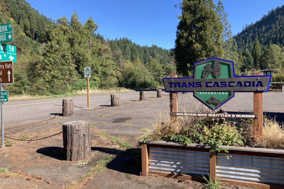
Parking for Aufderheide cyclists is along the barrier facing the Scenic Bikeway, courtesy of Trans Cascadia Excursions.
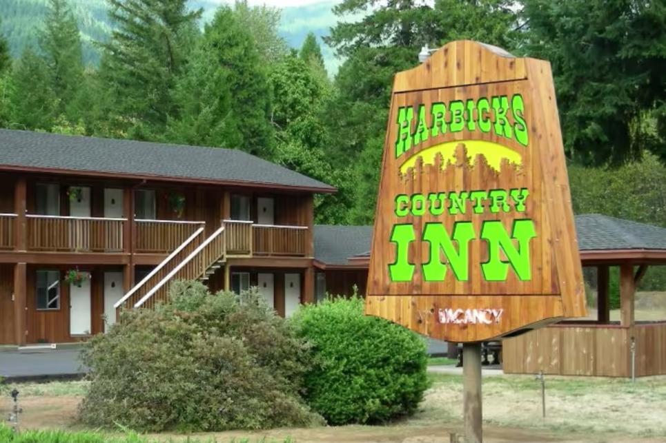
Aufderheide cyclists may make arrangements to park at Harbicks Country Inn near McKenzie River.

: Jonathan Marshall / @mlejackson
Three Things No One Tells You About Cycling the Aufderheide
There are three things no one tells you about cycling the Aufderheide: 1. the first 30 miles are straight uphill; 2. the second 30 miles are straight downhill; and 3. it ends at the magical Westfir Lodge. Let me explain. The Aufderheide is Oregon’s newest Scenic Bikeway, a program designed to…

: Melanie Griffin
Bicycle Safety & Local Riding Tips
The best cycling and mountain biking rides are the ones that feel safe and secure. Here are tips for planning your ride in the Eugene, Cascades…


: Melanie Ryan Griffin


: Turell Group

: Jody Trendler


