Connect Lane Cycling Routes

Explore the diverse topography from the rolling hills of the Willamette Valley to the ruggedness of the Cascade Mountains and all the local communities in between — all by bicycle! 

Connect Lane highlights a network of interconnected cycling routes, mapped out for scenic enjoyment on lower traffic roads. All routes are signed and routes are available on Ride with GPS.

Lane Transit District offers car-free travel options that make it easy for cyclists to reach several Connect Lane starting points and begin their adventure:

Connect Lane 1 - LTD Route 91 McKenzie Bridge (PDF)

Connect Lane 2 - LTD Diamond Express Oakridge (PDF)

Connect Lane 3 & 4 - LTD Route 98 Cottage Grove (PDF)

Connect Lane routes vary in difficulty, so it’s important to review these Bike Safety & Local Riding Tips before setting out.

Connect Lane Routes

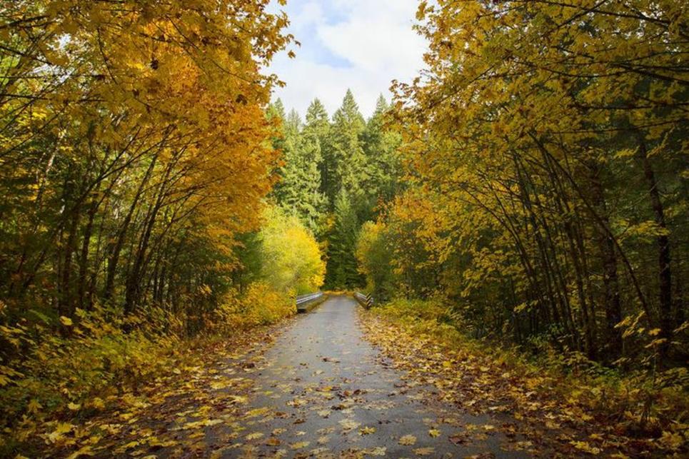
A road disappears into the woods, with colorful leaves on either side and a patch of blue sky above.
: David Putzier

The Aufderheide Scenic Byway in fall.

Oakridge to McKenzie River

Connect Lane 1

Also known as the Aufderheide Scenic Bikeway

The first Connect Lane route links Oakridge to the McKenzie River. Sixty miles (96.6 km) of paved road winds through the Cascade mountains with stunning scenic beauty. From shady forests to river canyons to open meadows, this quiet ride is an immersion in the wild. Along the way you'll pass hot springs, campgrounds, a horse camp and land recovering from former forest fires. There are no services along this route so please be prepared, bring along a tire repair kit and read these safety tips before riding. This is a ride for experienced cyclists.

Cottage Grove to Oakridge

Connect Lane 2

This is a challenging route that amps up in difficulty past the halfway point, climbing from the South Willamette Valley to the mountain town of Oakridge. There are no services along this route so please be prepared. We recommend you bring along a tire repair kit and read our safety tips before riding.

The ride starts simple with a flat, paved and multiuse path from Cottage Grove's Trailhead Park. This section is part of the Covered Bridges Scenic Bikeway which is very popular with families and more casual cyclists. The Row River Trail route passes Dorena Lake to county roads with the rural landscape shifting to denser forests and greater inclines. The next 40 miles (64.37 km) are all uphill, but shady and featuring beautiful forest landscapes.

You’ll near the top at over 4,800 feet (1.46 km) above sea level, followed by a short descent and another short climb to the main summit. Past that, you'll cruise 16 miles (25.7 km) of Forest Service roads as you wind downward and into the mountain town of Oakridge.

Enjoy a well-earned drink at the 3 Legged Crane Pub, and stop by Cog Wild if you want to swap the road bike for a mountain bike, as Oakridge is the "Mountain Biking Capital of the Northwest." Stay over at a mountain motel before riding on to the Aufderheide Scenic Bikeway, or taking a bicycle-friendly public bus back to Eugene.

Cycling the Covered Bridges Scenic Bikeway by Thomas Moser

Cycling the Covered Bridges Scenic Bikeway.

Creswell to Cottage Grove

Connect Lane 3

Leaving Creswell to the west, the third leg of Connect Lane travels along Hamm Road toward Territorial Highway and turns south towards Cottage Grove. As you're approaching Lorane, you'll see the majestic King Estate vineyards and winery, along with Alesong Brewing and Blending on your right. Both are revered for their signature wines and craft beers, respectively.

Continue along Territorial Highway into Lorane where you will find the Lorane Family Store where you can fuel up. Take a left onto the Cottage Grove - Lorane Road for the remainder of your ride into Cottage Grove. You'll arrive on Cottage Grove's Main Street, filled with shops, murals and breweries. As you continue east on Main Street, you'll discover Trailhead Park, which is the starting point for Connect Lane Route 2 to the community of Oakridge. Directly across the street you'll discover Bohemia Park, the community's beautiful gathering spot that includes an outdoor amphitheater.  

Three people with their bicycles sit at an outside picnic table waited on by a server.

A lunch break at Creswell Bakery.

Eugene to Creswell

Connect Lane 4

This route of the Connect Lane series features Creswell just south of Eugene.  Although it's a short distance, the hilly terrain turns this route into more of an "adventure by bicycle." Start in the heart of Eugene's downtown and follow the extensive network of downtown bike lanes south, where neighborhoods intermix with new and old-growth forests.

As you leave Eugene you’ll encounter two small climbs, eventually descending into the open, rolling hills that characterize the South Willamette Valley. Keep riding until you reach Hamm Rd, which links to Creswell — or continue riding Territorial Hwy to Cottage Grove.

You'll approach the steepest and tallest hill once you turn east towards Creswell. Hang in there, the ride's reward is the beautiful views during the descent. But if you are ready for a break, you can pause the ride here and stay overnight at Lanzarotta Bed and Breakfast, a sweet, secluded B&B nestled in the forest.

After tackling the hill, the rest of the ride will be smooth as you pass small farms and open pasture, riding right out onto Creswell's main street. Make sure to stop by the Creswell Bakery for the best cardamom buns you've ever had!

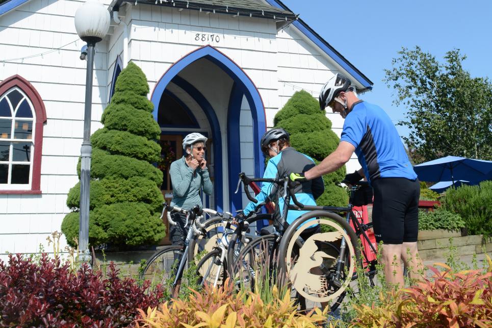
Three cyclists park their bikes in front of the church door entrance of the bakery.
: Colin Morton

Cycling to Our Daily Bread for breakfast.
Eugene to Veneta

Connect Lane 5

Follow this route between Eugene and Veneta. Riders who are in Eugene may access the City of Eugene’s Fern Ridge bike path and head west. Look for a variety of waterfowls as you approach the terminus at Greenhill Road.

Head south on Greenhill Road, crossing Highway 126 W and staying right as the road splits and becomes Crow Road. Enjoy the rolling hills as you continue south. Once on Central Road you will experience a steep but short climb. Near the top of the hill, you will have the option to visit Sarver Winery, which arguably has one of the most magnificent views in the South Willamette Valley.

Continuing along Central Road you will arrive in the community of Crow. Your journey continues onto Vaughn Road and the Coastal range foothills. At Bolton Hill Road you have a decision to make - stay on Vaughn Road and begin Connect Lane 6 to Junction City or turn right and pedal three miles into the community of Veneta. Veneta offers grocery stores, some retail shopping and a variety of restaurants. A must stop is Our Daily Bread Restaurant and if you skipped Sarver Winery, you’ll have another opportunity to experience great South Willamette Valley wine at Apona Vineyards. 

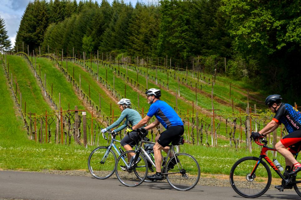
Cycling through Wine Country
: Melanie Ryan Griffin

Cycling through wine country.

Veneta to Junction City

Connect Lane 6

This route winds through the scenic foothills of the Coast Range, offering a rewarding mix of quiet country roads, challenging climbs, sweeping descents and memorable small-town stops.

Your journey begins in Veneta by heading southwest on Bolton Hill Road to Vaughn Road. Turn right and continue toward the tiny community of Noti (pronounced No-Tie), where you'll find the Noti Pub — a classic combination of hometown restaurant and friendly dive bar that's become a favorite stop for travelers. The nearby market is your last chance to stock up on snacks and drinks before reaching Junction City.

After crossing Highway 126 onto Knight Road, continue to West Scheffler Road, then turn left onto Butler Road. Here you'll face the route's biggest challenge: a steady 2.5-mile (4.02 km) climb. Pace yourself — the effort is rewarded with beautiful views across the surrounding countryside before a fast, exhilarating descent carries you toward Lawrence Road.

As you roll out of the hills, you'll cross Territorial Highway, where the road becomes Clear Lake Road. Fern Ridge Reservoir soon appears on your right, offering a perfect photo opportunity before the route descends toward the dam. At the dam, turn left onto Kirk Road and enjoy a series of gentle rolling hills before reconnecting with Territorial Highway.

Turn right onto Territorial Highway and ride just over a mile before turning right onto Franklin Road. This intersection is worth a brief stop to see one of the area's most unusual landmarks: two nearly identical churches standing just a few hundred feet apart. Local lore says a disagreement within the original congregation led one group to build an exact replica nearby — a fascinating piece of local history.

From Franklin Road, enjoy a relaxing descent before turning left onto Alvadore Road. The route meanders through fertile farmland as you approach the Scandinavian heritage community of Junction City. At Highway 36, Alvadore Road becomes Dorsey Lane. Continue north to High Pass Road, turn right, and enjoy the final approach to Junction City.

Explore by Bike

Ride the Scenic Bikeways