: Michael Sherman
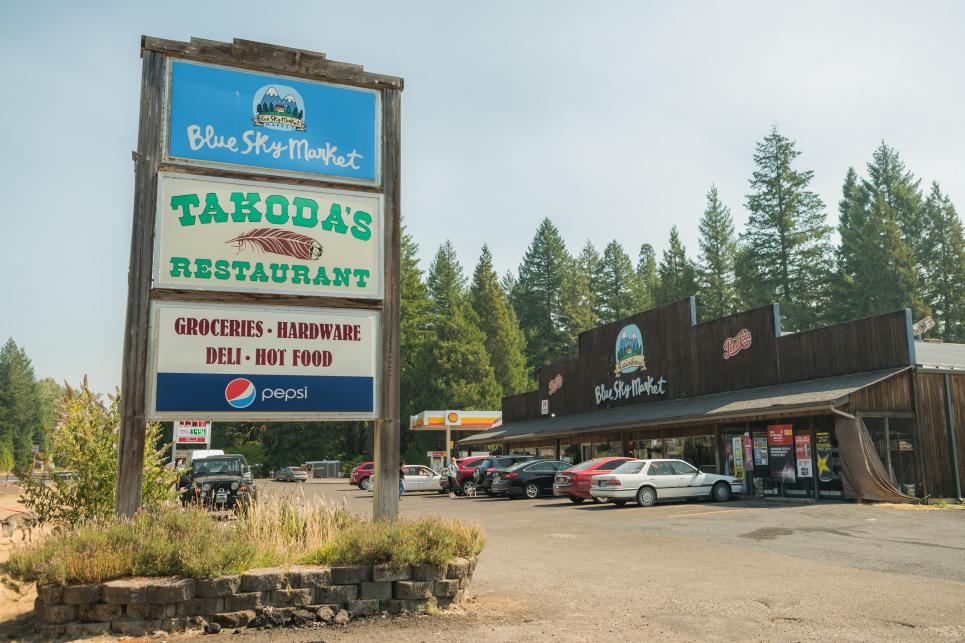
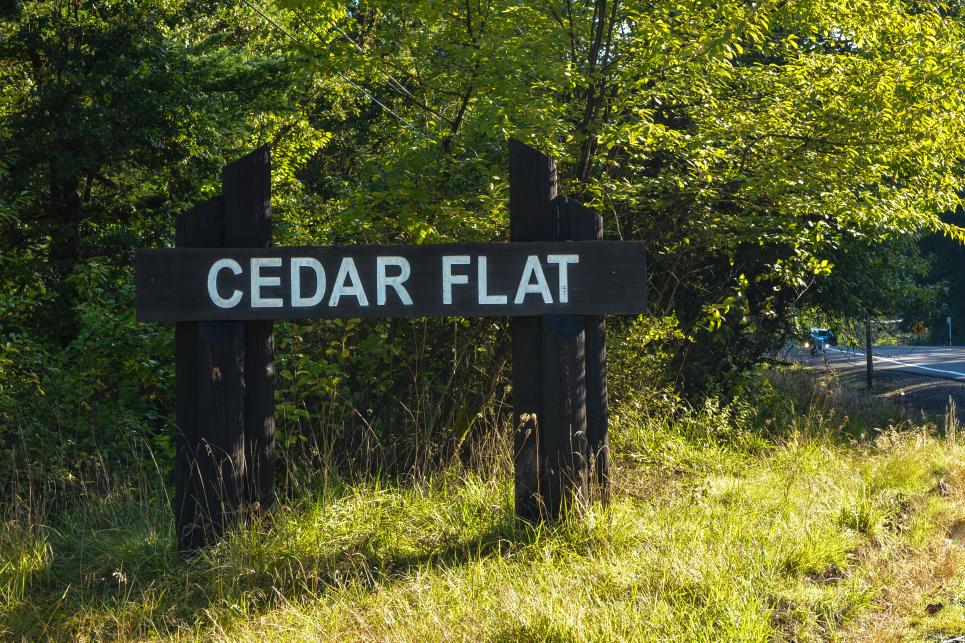
Takoda's & Blue Sky Market in Rainbow
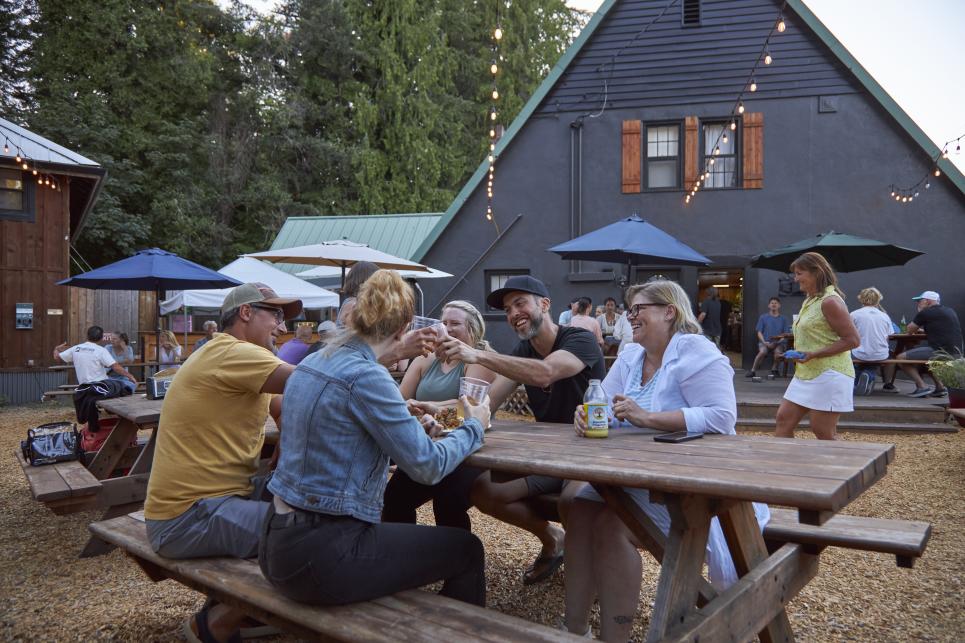
Patio dining at the Obsidian Grill in McKenzie Bridge
: Joni Kabana
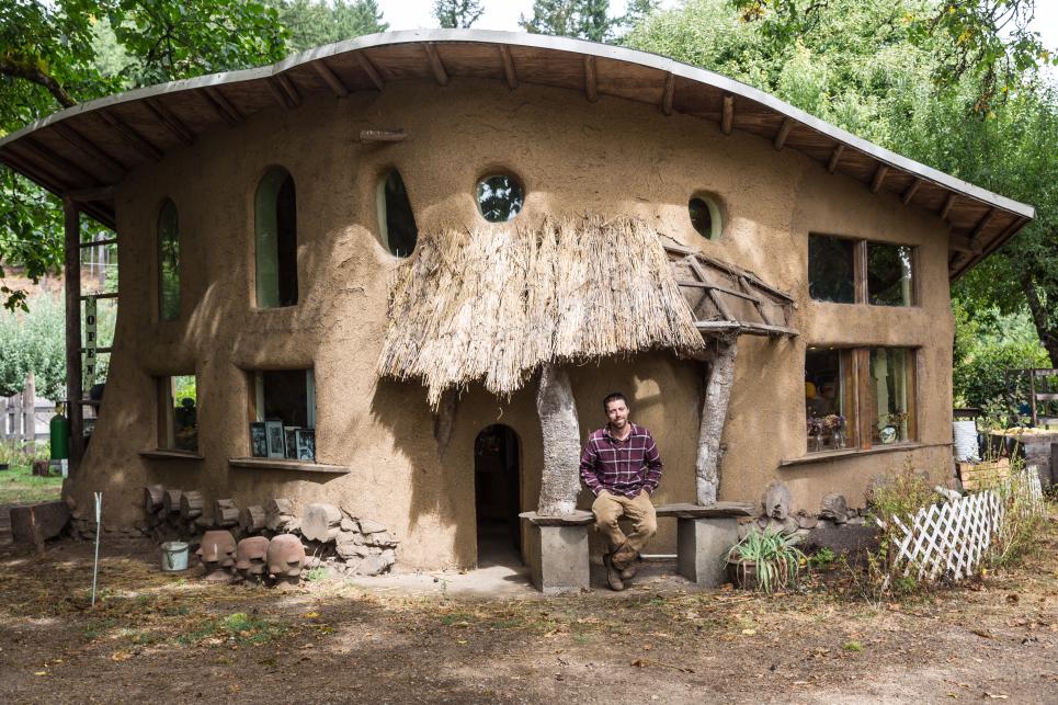
Upriver Organics in Walterville
: Sally McAleer
Leaburg Fish Hatchery
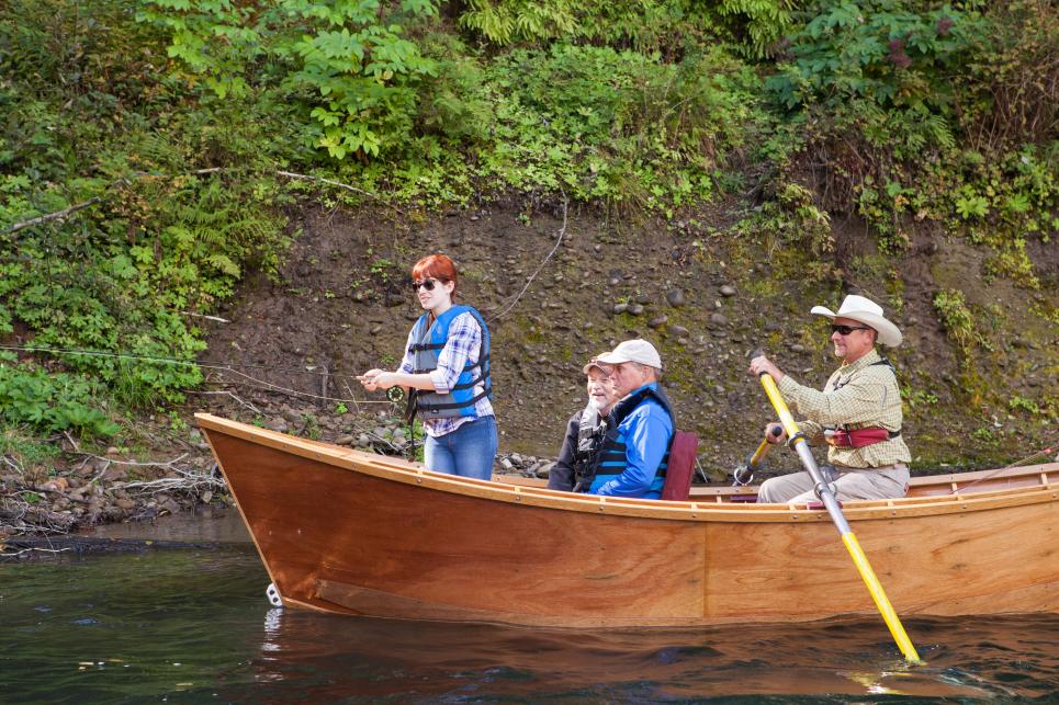
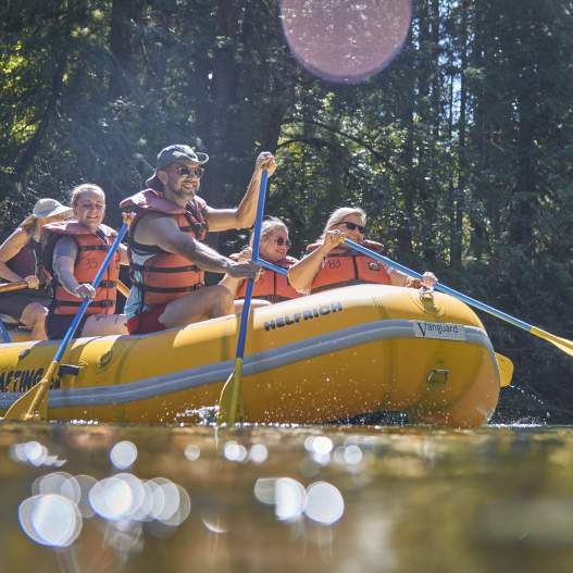
Drift boat fishing on the McKenzie River
: Johanna Roseberg
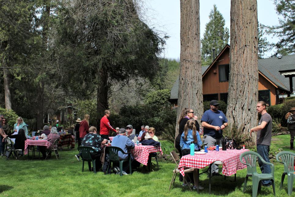
The Wooden Boat Festival at Eagle Rock Lodge
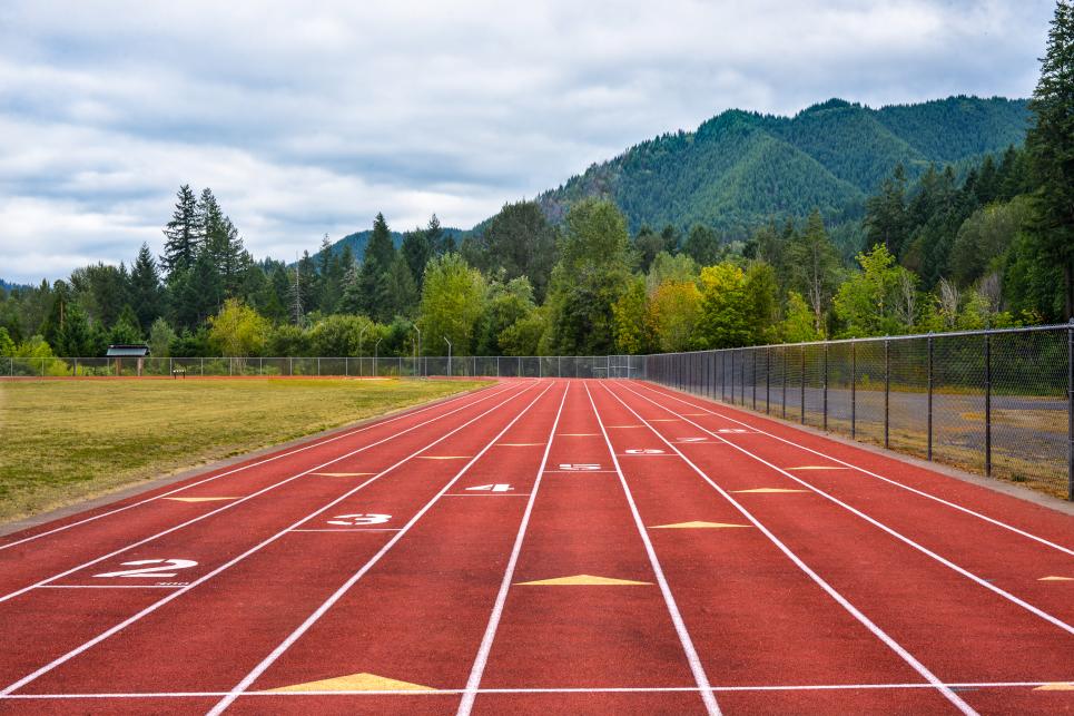
McKenzie Community Track & Field in Blue River
: Cari Garrigus
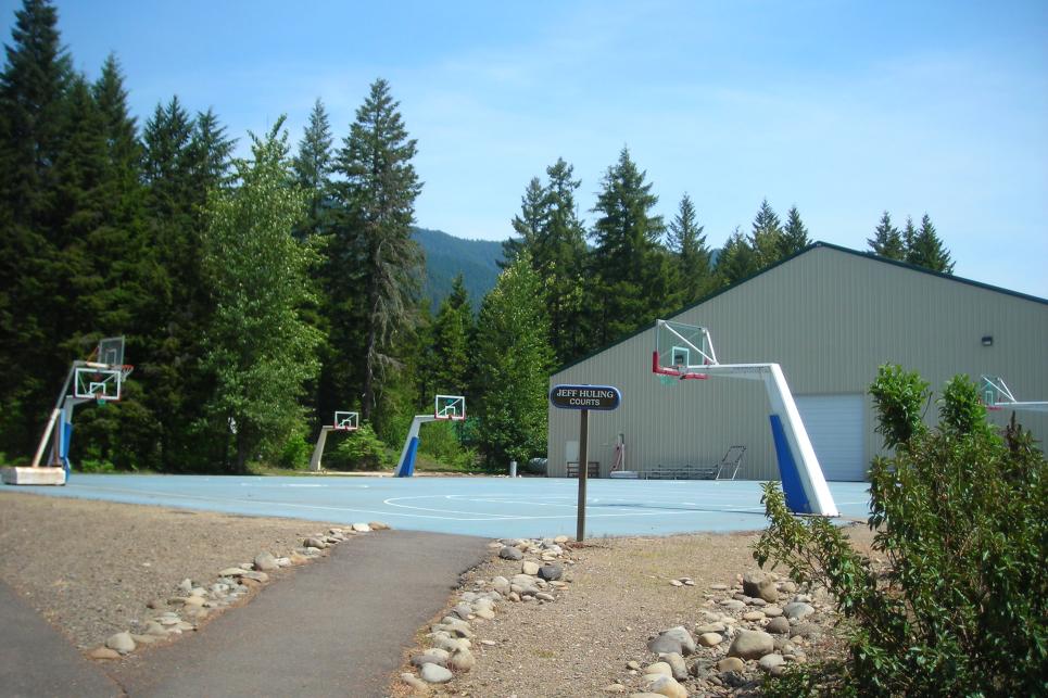
McKenzie River Resort outdoor basketball courts in Rainbow
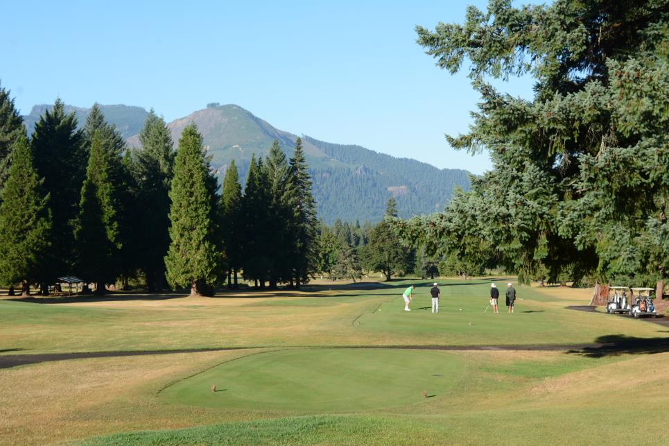
Tokatee Golf Club in McKenzie Bridge
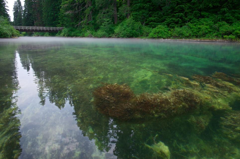
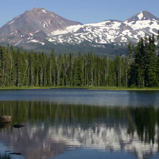
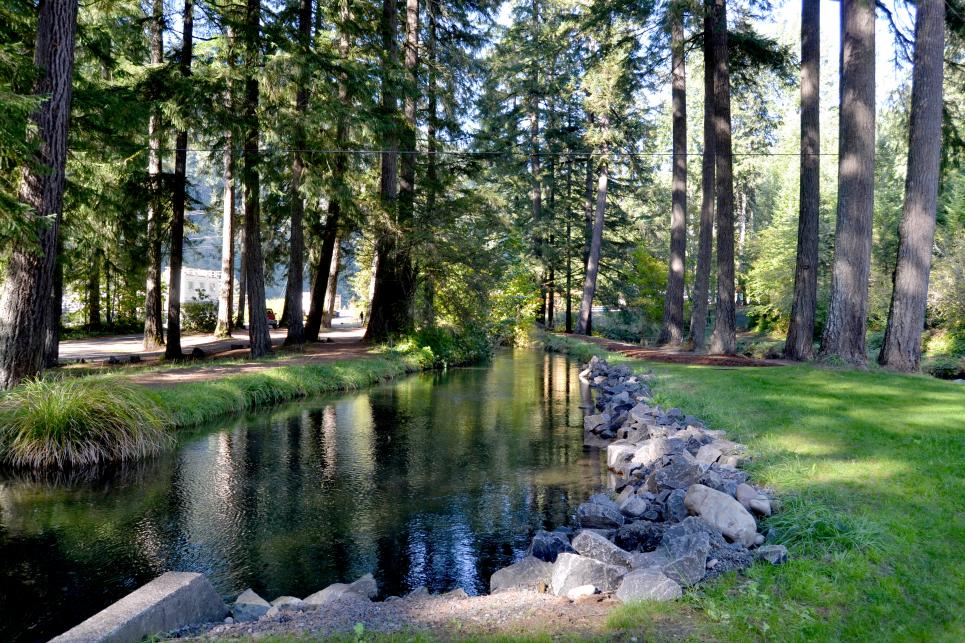
Clear Lake above the McKenzie River