
Sand Dunes Frontier Google Trekker
Oregon Coast Trekking
Trek up and over the Oregon Coast Sand Dunes and out onto Oregon's beaches with a phenomenal Google Trekker experience. Climb the accessible paths to a 100-year old lighthouse and delve into delightful coastal forests. Discover the wild beauty of the coastline and unexpected terrain.
Hike the Oregon Coastline with Travel Lane County and the Google Trekker, as we journey to historic landmarks and natural wonders. See the "trail views" of trails trekked.
Dunes City
![]() Oregon Dunes National Recreation Area / trail details
Oregon Dunes National Recreation Area / trail details
Florence
![]() Siuslaw River / trail details
Siuslaw River / trail details
![]() South Jetty County Park / trail details
South Jetty County Park / trail details
Oregon Coast
![]() Heceta Head Light House Trail / trail details
Heceta Head Light House Trail / trail details
![]() Heceta Head Lighthouse State Scenic Area / trail details
Heceta Head Lighthouse State Scenic Area / trail details
Mapleton
![]() Kentucky Falls Trailhead / trail details
Kentucky Falls Trailhead / trail details
![]() Sweet Creek Falls / trail details
Sweet Creek Falls / trail details

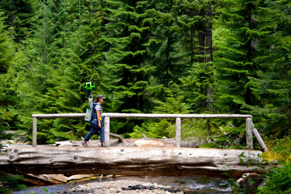
Google Trekking
Cottage Grove
![]() Brice Creek Trail #1403 / trail details
Brice Creek Trail #1403 / trail details
![]() Row River Trail / trail details
Row River Trail / trail details
![]() Wildwood Falls / trail details
Wildwood Falls / trail details
Eugene
![]() Hendricks Park / trail details
Hendricks Park / trail details
![]() Hayward Field / trail details
Hayward Field / trail details
![]() Ridgeline Trail - Blanton Ridge / trail details
Ridgeline Trail - Blanton Ridge / trail details
![]() Skinner Butte Park / trail details
Skinner Butte Park / trail details
![]() Spencer Butte West Ridge Park / trail details
Spencer Butte West Ridge Park / trail details
Springfield
![]() Middle Fork Path / trail details
Middle Fork Path / trail details
Veneta
Hayward Field - Eugene
Trek the track at the University of Oregon's historic Hayward Field. * In 2020, Hayward Field re-opened with a new re-imagined stadium, replacing the older structure. This footage is the previous stadium.
Google Trekking Diamond Creek Falls
Pleasant Hill / Dexter / Lowell / Fall Creek
![]() Elijah Bristow State Park / trail details
Elijah Bristow State Park / trail details
![]() Goodman Creek Trail #3461.1 / trail details
Goodman Creek Trail #3461.1 / trail details
![]() Hardesty Trailhead - Upper / trail details
Hardesty Trailhead - Upper / trail details
![]() Fall Creek Trailhead #1 / trail details
Fall Creek Trailhead #1 / trail details
Oakridge / Westfir
![]() Dead Mountain Trail / trail details
Dead Mountain Trail / trail details
![]() Larison Rock Trail #3607 / trail details
Larison Rock Trail #3607 / trail details
McKenzie River
![]() Dee Wright Observatory / trail details
Dee Wright Observatory / trail details
![]() McKenzie River Trail (MRT) / trail details
McKenzie River Trail (MRT) / trail details
Silver Creek Landing - McKenzie River
Discover with us what it's like to float the McKenzie River from Silver Creek Landing.